East Palestine Water Quality FULL RESULTS, No Interpretation
As discussed in my previous post, we have been awaiting the full results from our water quality sampling of the creeks near East Palestine. The results have arrived and are available in raw PDF format here. Note that these are the raw results and it will take me some time to assess the implications of them. In short, there are “hits” in multiple stream samples, of multiple chemicals, both “Downstream” and “Downwind” of the derailment. Many hits are above Minimum Detect Levels (MDL), but below Report Limits. Sample Big Pine 06 results have to be considered “estimated” because it was ran outside of the holding time for Method SW8015D. We have to take that result with a grain of salt. Also, we have to take into account that the derailment may not be the only source of contaminants to each sample location.
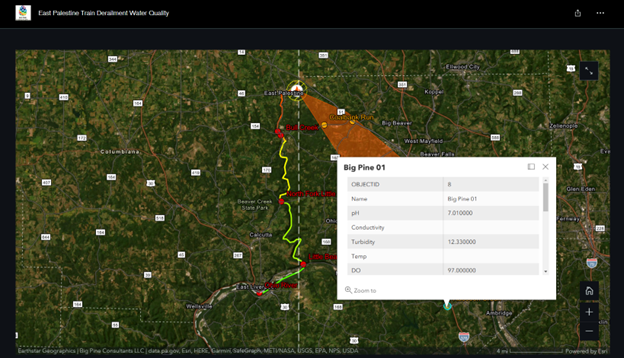
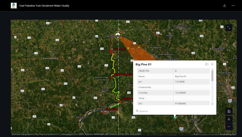
I will need to update my story map with labels so that you can all key them to the results easily. For the time being, on the story map here, scroll to the bottom map and click on a sample point to see a pop-up that has the location that corresponds to the results. The samples were all labeled Big Pine 01 through Big Pine 09.

If any other professionals would like to provide their opinions on meaning of the results, please feel free to reach out to me via email at justin.johnston@bigpineconsultants.com.