GIS Services
The success of your project depends on receiving environmental permits in a predictable fashion and on time. Sometimes, obtaining those permits is easier said than done. Every state has its own set of laws, rules, and regulations that govern development. In addition, there may be significant variation at the county and local government level. To top it off, your project probably requires collaboration among many disciplines including engineering, survey, environmental, cultural resources, certificating, land, and public outreach staff. Big Pine can help work with your team to manage it all.
Big Pine’s environmental professionals thrive in the complex arena of environmental permitting and planning. We also work to complete surveys, obtain easements for our clients, purchase properties, get highway occupancy permits, coordinate with engineering staff or manage engineering and survey consultants. Our team pulls from our wide-ranging experience in Pennsylvania, West Virginia, Virginia, and Maryland to help you plan your project from concept through construction. We take a proactive approach early on in project planning to help design your project to minimize and avoid environmental impacts to meet your company’s sustainability goals and make permitting easier. We work early on to develop an appropriate public outreach plan that is consistent with the scope of your project and will help build relationships with the community around your project as well as with agency staff and political representatives.

We use ArcGIS Online to support public outreach efforts as well. ArcGIS Online allows us to create web applications such as the one below that depicts the status of state park trail crossings of a project for Washington Gas to let park users know whether a particular crossing is open to the public.
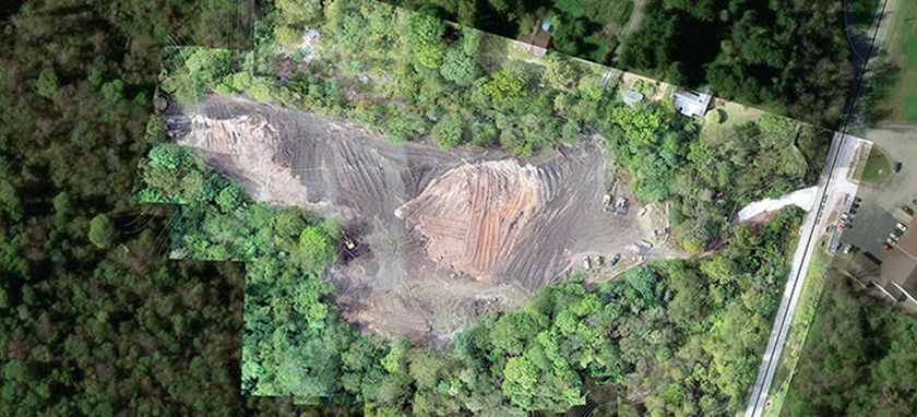
Our web applications are not restricted to 2D maps though! The example below shows a web application using “scenes”, which are a 3D model. This is commonly created using a combination of ArcGIS Pro, Trimble Pathfinder Office, Drone2Map or DroneDeploy, and our drone platform.

We use a lot of tools to manage projects. We use ESRI ArcGIS Pro to manage geospatial information such as property and landowner information, permission to survey, stream and wetland delineation data and progress, preferred and alternative alignments/designs, cultural resources field data, remote sensing data such as project specific drone or aerial imagery, workspace, easements, and other information that is useful to inform project design as data is collected. We use Microsoft Project to layout schedules in Gantt Chart format to track progress and estimate timelines to start or finish construction. We use Microsoft Teams to host conference calls and share screens to show data to the Project team. We use Microsoft Sharepoint sites for each project to store large files and create a central repository of project related information. We create and maintain line lists in Microsoft Excel to keep track of landowner contacts. We can create and manage a project specific website for use in public outreach efforts. We work hard to do what it takes to get your project done!
Typical GIS Projects Include:
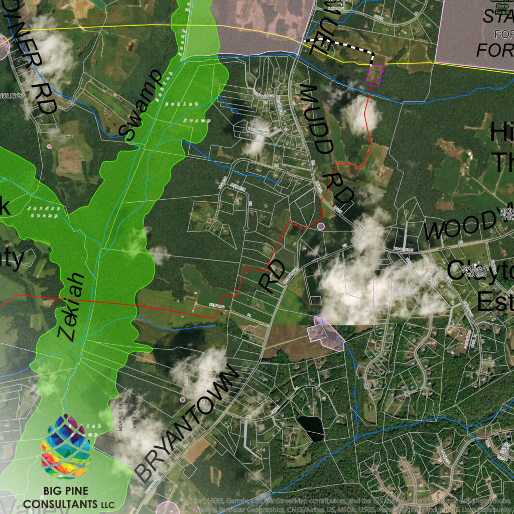
- Project Location Map or Site Location Map
- Topographic Map
- Resource Location Map
- Vicinity Map
- Heat Map indicating density or other data
- Cluster Maps
- Bubble Maps
- 2D Web Map Application (can be public or password protected)
- 3D Web Scene Application (can be public or password protected)
- Data Collection using Trimble GPS
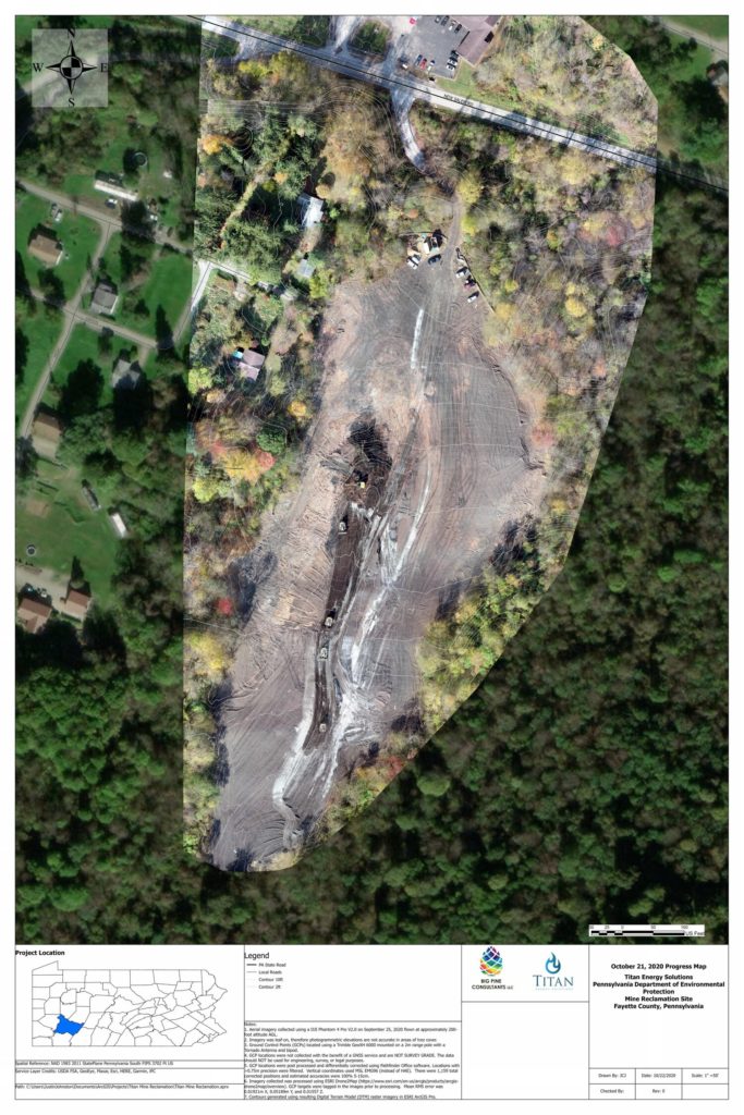
- Drone Data Collection for Aerial Imagery and Photogrammetry produced 3D models and contours
- Various Geospatial Modeling Applications
